
2. CryoRad
Summary CryoRad is one of four mission ideas selected by ESA's Programme Board for Earth observation to compete for becoming…
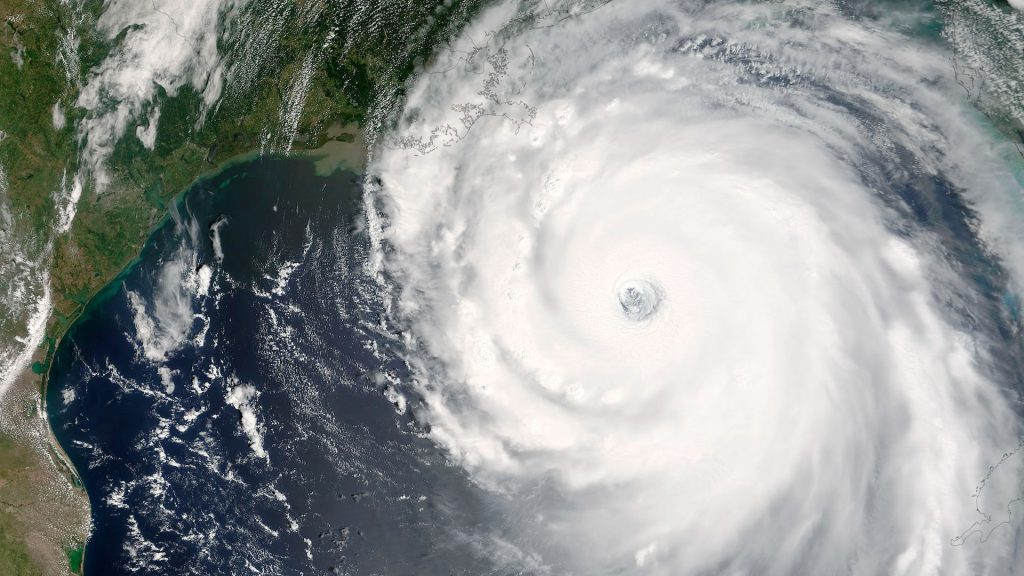
CHERRI aims to improve advanced climate models by incorporating satellite data going back to the 1970s, while strengthening the use of current Copernicus missions.
The challenge is significant: producing coherent, stable climate records that span half a century requires reconciling instruments, calibration approaches, and data formats across generations of missions. CHERRI tackles that head-on, turning fragmented historical archives into seamless time series that climate models can actually use.
Longer, more stable historical data records mean more robust climate models and more reliable answers to the questions climate science is being asked to settle.
We are the only SME participating in the international consortium, contributing specialized expertise to one of the project’s core scientific challenges: the recovery, recalibration, and homogenization of historical satellite data, a process best described as data archaeology.
This work eliminates discontinuities between missions and produces coherent, stable time series suitable for advanced climate model assimilation, helping unlock the scientific value buried in five decades of satellite archives.
Key activities:
Summary CryoRad is one of four mission ideas selected by ESA's Programme Board for Earth observation to compete for becoming…
Summary The Wideband Digital Backend project focuses on the development and evaluation of the digital backend of the receiver for…

Summary Part of ESA's Climate Change Initiative, this project develops a new climate data record for total Ocean Surface Heat…